After attending a memorial in Scottsdale for Annie's beloved Aunt Janet and we continued onto a fantastic road trip with our daughter Faith north to the Flagstaff area. We were searching for a meteor crater (we will have to return to complete that mission, missed by about 50 miles) and ended up at Sunset Crater Volcano National Monument just north of Flagstaff. Unlike the Chiricahua's this volcano erupted only 800 years ago. It was really windy which actually added to the experience of the area. The snowy peak in the top picture is Mount Humphrey's at 12,633, the tallest mountain in AZ and another volcano.

Native Americans were living in the area during the eruptions. The volcanic ash that settled on the surrounding land actually supported Native Americans agriculture for another century by adding nutrients to the soils.

Archeological discoveries indicate that there were enough earth quakes before the actual explosion that the Natives had moved out of the pit houses that were buried under ash flows.


The volcano spewed ash and had side vent lava flows.
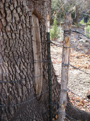
 I finally dragged Annie, scratching and clawing out of Arizona. We stopped in western New Mexico and stayed two nights in a one room cabin just out of the town of Glenwood. Our first hike took us up a slot canyon called Alma Creek. Evening light made the adventure even more dream like. A must see place. At the mouth of the canyon we found the above fence post being eaten by a large tree, sort of taking back its own kind.
 This area is a little death valley with all its interesting rock formations except it has water.


